Latest Notes
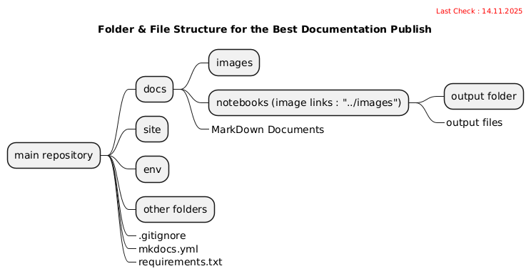
Best Folder Hierarchy for Documentation with MKDocs
If you would like to use python notebooks as the main source of the document and never change the d
Check XML files against Schema Definition (XSD)
- Checks any XML file types with a given file extension and validate them against the schema definit
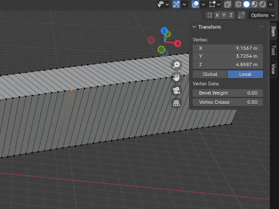
Create a function that stores a X3D file with GeoReference
takes the unique id as text
takes the geometry
Creating a function with several I/O parameters
- Add input parameters
- Use the input parameters in the SQL body
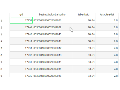
Replace ID with the actual one in Geoserver
Display the actual id column instead of the auto-generated Feature ID column
Creating the boundaries (tindex) of raster orthophotos with unix script
- Creating the boundaries (tindex) of raster orthophotos with unix script
- masking them with the same name
Changing the nodata value in geotiffs with NAN value with GDAL_CALC
If “nan” is present in geotiff, the expression should be as follows:
"(~numpy.isnan(A))*A"
How to forward a port from an instance to the host in LXD
- adds a rule with a specific name
- rule forwards specific port to another one
JSON Array Aggregation and CONCATenation in Postgre and OracleDB
- compares some aggregation or json functions
- includes unsolved issues
Some rules to generate Postgre compatible SQLs for OracleDB
- INSERT INTO must be declared before the WITH clause.
- Every (real) table must be called with it's SCHEMA name.
Search for a computer using a specific TCP port with nmap
scans for the opened ports in local network
How to query a XML file and save a subset using XPath
- checks for a matching in an XML file
- copies a specific part for every match
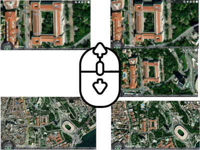
Slow down mouse wheel zoom in-out speed in Cesium
- cancels the standard zoom function.
- calculates the coordinate of the cursor's last point of movement.
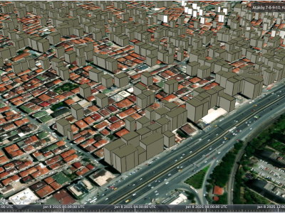
Show only filtered instances of 3DTileset in Cesium
adds OSM buildings tileset
gets height property, converts to number/float and compare with a specif
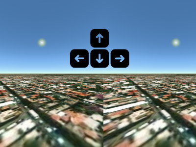
Move the camera with keyboard shortcuts in Cesium
sets keyboard shortcuts for forward, backward, left, right, up and down moves
activates VR view
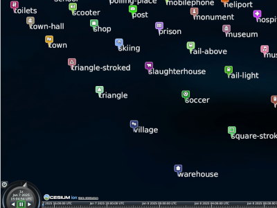
Showing Attributes of a GeoJSON data source with labels in Cesium
loads a geojson file into the scene
adds LabelCollection and populate the collection with the attri
Highlight and show an attribute as label on map by hover in Cesium
sets a nameOverlay HTML object to show attributes
assign a custom style to highlight a selected instance of 3DTiles
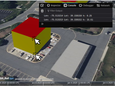
Get latitude, longitude and elevation on 3dtiles instances by left click in Cesium
checks if pickposition supported by the current browser
picks an instance from the added 3DTiles
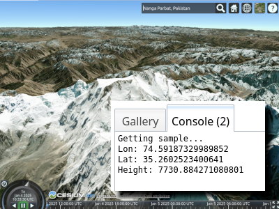
Get Latitude Longitude and Height on terrain by left click in Cesium
adds a terrain
picks position info by clicking on terrain
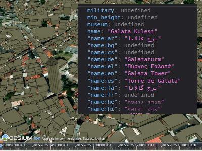
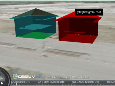
Get all attributes of a 3DTiles instance by hovering over it in Cesium
enables position picking
add a function to list the attributes
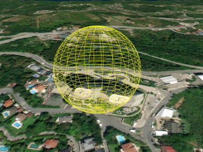
Fly camera to the specified extents using BoundingSphere in Cesium
creates an extent set using WGS84
creates sphere using extents